
From the Lower Mississippi into the Ohio Valley, widespread moderate to major river flooding is ongoing and will continue through at least late week. Cold temperatures, near or below freezing Wednesday morning will be felt across areas that were impacted by the recent multi-day storms. Dry conditions and gusty winds will contribute to critical fire weather Wednesday over parts of the Plains. Read More >
Cleveland CWSU
Center Weather Service Unit
 |
||
|
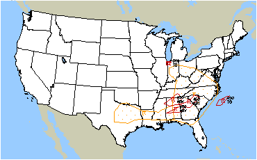
Click here for the latest regional surface plot.
|
 SIGMETS: ICE | TURB | IFR | CONV | ALL |
|
|---|
|
Cleveland Center Weather Service Unit (CWSU)
|
| Mission: Our main responsibility is to provide up to the minute weather information to FAA Supervisors and the ZOB Traffic Management Unit (TMU). Some of the products issued by the CWSU are the Center Weather Advisories (CWA) and the Meteorological Impact Statement (MIS). The CWA is an aviation weather warning for thunderstorms, severe icing or turbulence, and low IFR ceilings and visibility. The MIS is a 2-12 hour forecast for weather conditions, which are expected to impact ARTCC operations. |
|
US Dept of Commerce
National Oceanic and Atmospheric Administration
National Weather Service
Cleveland CWSU
Cleveland ARTCC Attn:CWSU
326 East Lorain Street
Oberlin, OH 44074
Comments? Questions? Please Contact Us.


