|
Latest Aviation Discussion
LAST UPDATED:  749 PM TUESDAY, APRIL  8 2025

.AVIATION /00Z WEDNESDAY THROUGH SUNDAY/...
High confidence in VFR conditions through the next 24 hours.

Cooler and drier air continues to build into the region tonight
as winds shift more northeasterly and pick up to around 5 to 10
knots with a 25-30 knot low level jet. Winds continue to veer
through the day Wednesday to more easterly and possibly even
southeasterly after 19z and begin to weaken a bit as high
pressure settles overhead. Skies should remain mostly clear
through the period but some thin cirrus clouds may move over
the area on Wednesday. Thinking winds and dry air mass should
prevent fog concerns.

EXTENDED AVIATION OUTLOOK...Dry air makes restrictions unlikely
through Thursday. Then, deeper moisture spreads into the
Southeast late this week ahead of the next system. Rain chances
and the threat of restrictions returns for late Thursday and
Friday.
|
Terminal Aerodrome Forecasts
 Columbia Metropolitan Columbia Metropolitan
Jim Hamilton-L.B. Owens Airport
Orangeburg Municipal
Augusta Bush Field
Augusta Daniel Field
Tactical Decision Aids (Graphical Representation)
Columbia Metropolitan
Jim Hamilton-L.B. Owens Airport
Orangeburg Municipal
Augusta Bush Field
Augusta Daniel Field
FAA Links
Flight Delay Information
Federal Aviation Administration
Notices to Airmen
Pilot Guides
ASOS guide for Pilots
Pilot's Guide to Aviation Weather Services
Airport Information
Columbia Metropolitan
Jim Hamilton-L.B. Owens Airport
Orangeburg Municipal
Augusta Bush Field
Augusta Daniel Field
National Weather Service Links
Aviation Weather Center
Aviation Digital Data Services
Storm Prediction Center
Environmental Prediction Center
Atlanta Center Weather Service Unit
Jacksonville Center Weather Service Unit
National Weather Service
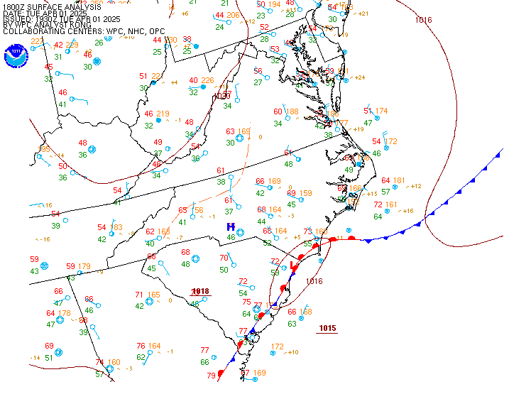
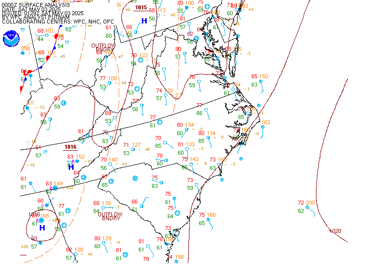
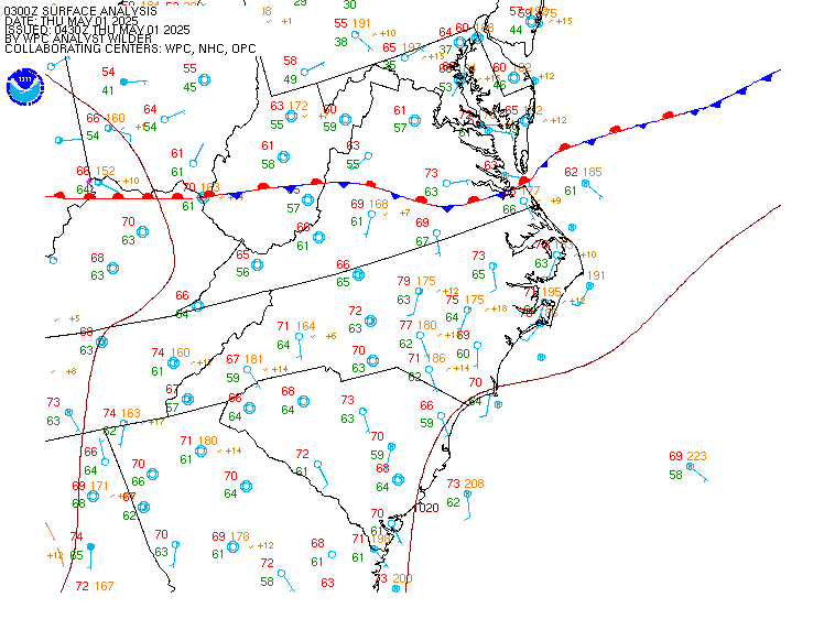
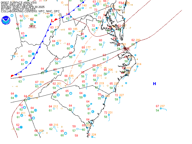
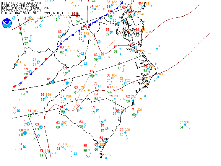
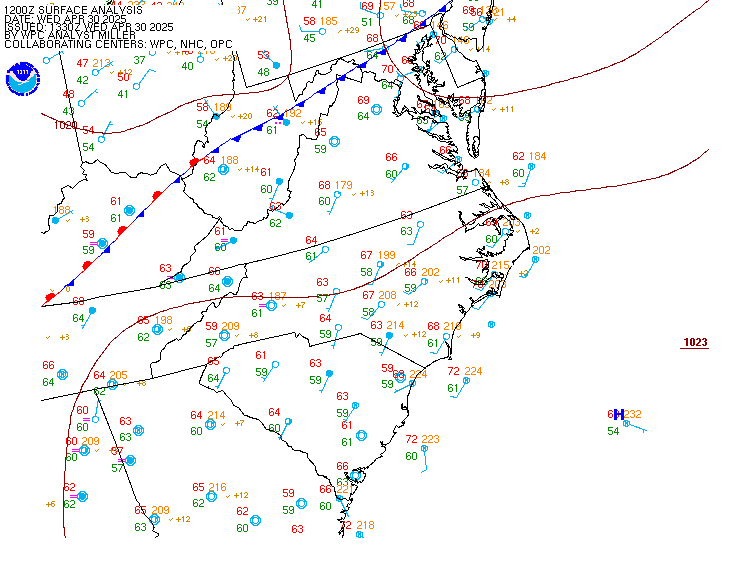
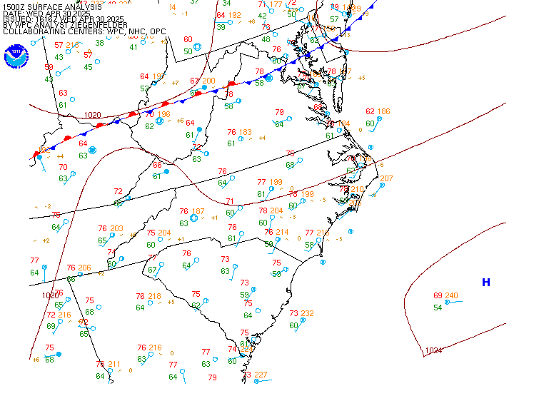
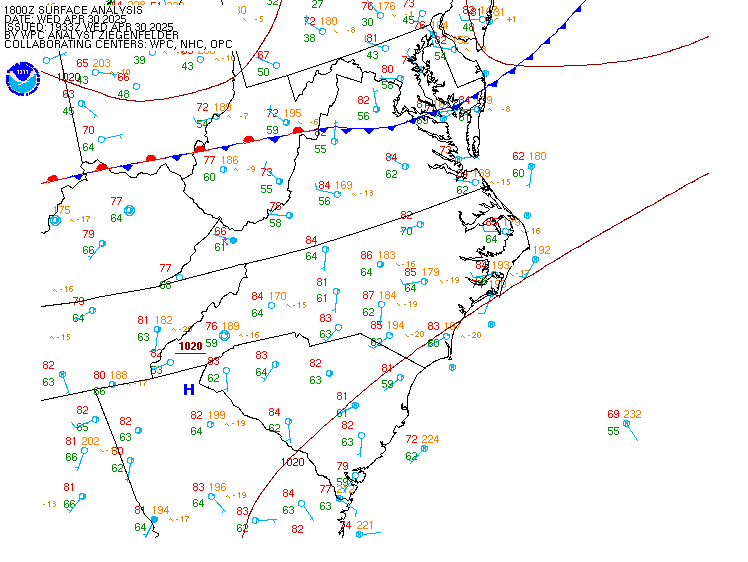
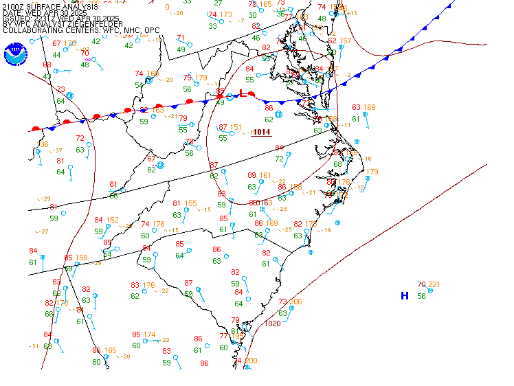
| Current and Recent Mid-Atlantic Surface Analyses |
For local time, subtract 5 hrs during EST (or 4hrs EDT)
(12Z would be 7 am EST)
| 00Z | 03Z | 06Z | 09Z | 12Z | 15Z | 18Z | 21Z | Other Plots
Click hour to enlarge, or move mouse over links to change images
 |
If you have any comments or questions concerning this page, please contact
the web team.
|


