
From the Lower Mississippi into the Ohio Valley, widespread moderate to major river flooding is ongoing and will continue through at least late week. Cold temperatures, near or below freezing Wednesday morning will be felt across areas that were impacted by the recent multi-day storms. Dry conditions and gusty winds will contribute to critical fire weather Wednesday over parts of the Plains. Read More >
| Snow Amount Potential
Experimental - Leave feedback
|
|
| Expected Snowfall - Official NWS Forecast
What's this? |
High End Amount 1 in 10 Chance (10%) of Higher Snowfall What's this? |
| Low End Amount 9 in 10 Chance (90%) of Higher Snowfall What's this? |
|
| Percent Chance That Snow Amounts Will Be Greater Than...
Experimental - Leave feedback
What's this?
|
||||||||||||||||
|
||||||||||||||||
| Snowfall Totals by Location
Experimental - Leave feedback
What's this?
|
|
|
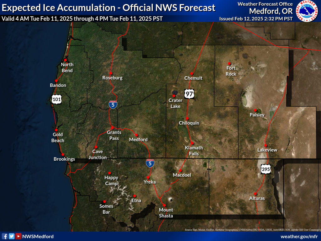
| Ice Accumulation Potential |
|
Expected Ice Accumulation - Official NWS Forecast This is the elevated flat surface ice accumulation. It is not radial/line ice. Radial/line ice is typically 39% of the elevated flat surface ice. For more information on this, see this module. |
|---|
 What's this? |
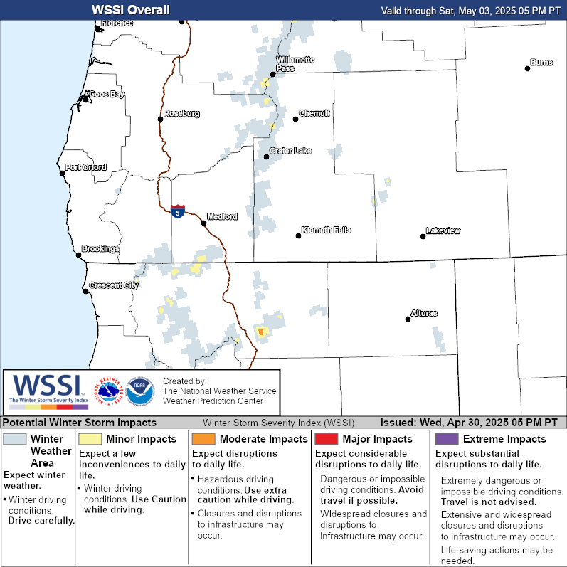
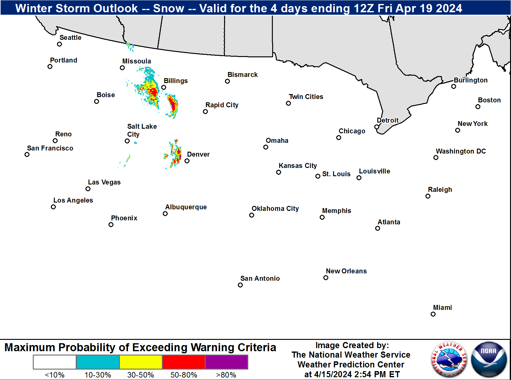
| Winter Storm Severity Index (WSSI) | Winter Storm Outlook (WSO) |
|---|---|
 |
 |
| National Snow Reports | National Snowfall Analysis |
|---|---|
 |
 |
| Local Snow Reports | |
 |
|
| Days 4-7 Winter Weather Outlook | |
| Day 4 Winter Weather Outlook | Day 5 Winter Weather Outlook |
 |
 |
| Day 6 Winter Weather Outlook | Day 7 Winter Weather Outlook |
 |
 |
|
|
|
| CPC Week-2 Experimental Heavy Snow Risk | |
 |
|
| CPC Temperature & Precipitation Maps | |
|
Days 6-10 |
|
| Temperature | Precipitation |
 |
 |
|
Days 8-14 |
|
| TEMPERATURE | PRECIPITATION |
 |
 |
|
Week 3-4 |
|
|
TEMPERATURE |
PRECIPITATION |
 |
 |


 Precipitation Tracker
 Graphical Hazards Outlook
 RADAR and Satellite
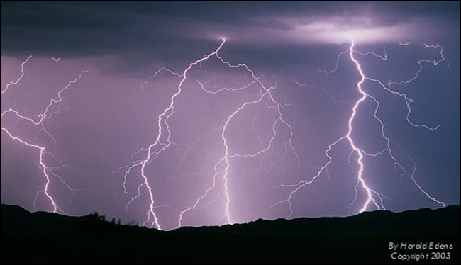 Lightning Climatology
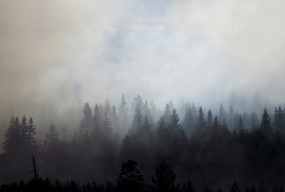 Smoke and Wildfire Safety
 Forecast Discussion
 Avalanche Guidance
 NESDIS Geocolor
 Weather Map
 Forecast Weather Tables
 Climate Graphs
 Marine
 Fire Weather
 Crater Chronicle and Monthly Climate Summaries
 GOES 18 Water Vapor Imagery
 Mountain Pass Forecasts